The Vegetation Programme
Under human pressure, many changes are taking place in the resources and the environment of Earth. An increasing global population fuels the need for food, natural resources and land. Consequently, the need for maintaining a capacity to observe and understand the Earth system and the biophysical processes has become a key element for the sustainable management of the planet’s natural resources. The SPOT-Vegetation instruments have significantly contributed to reach this goal.
In 1977, France proposed to develop a series of Earth observation satellites aimed at taking images of the Earth in different light bands: SPOT. These high-resolution satellites were designed to improve the knowledge and the management of Earth’s resources by gathering data regarding agriculture, water resources, renewable and non-renewable fuels and contribute to a better understanding of the oceans, climate and erosion.
Initially, Spot was suggested by France in February 1977 as a European project but was supported only by two countries, Belgium and Sweden. Consequently, the French government decided to adopt Spot as a national project and offered Belgium and Sweden to join on a bilateral basis (contributing 4% each). In order to market the images Spot could take from every spot of the Earth, CNES set up the first satellite-based Earth resources company, “SPOT Image”, based in Toulouse. CNES was a 39% shareholder along with other sponsors from Belgium, Sweden and Italy.
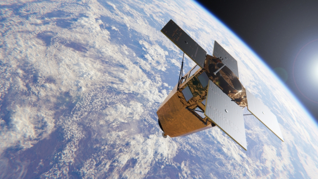
Spot-1 was launched with Ariane 2 in February 1986. This first satellite was joined by Spot-2 in January 1990 followed by Spot-3 in September 1993. In 1998, Spot-4 was launched with Ariane 4 when Spot-3 went out of action. This new satellite contained major technical developments and carried additional experiments for the observing of the ozone layer and radio-positioning. CNES managed to convince the European Union (EU) of the necessity of making available in Europe a global monitoring instrument devoted to the vegetation cover. Jointly developed by France, the EU, Belgium, Italy and Sweden, this new instrument dedicated to the daily measurement of the Earth vegetation cover was Spot-4’s main improvement. This instrument was regarded as a workhorse of global monitoring: “It gives a basic dataset you can trust, really designed around dedicated measurements, oriented to understanding the state of the vegetation cover of the world on a day in-day out basis”.
Download the paper to read full text:

Available in:
Regions and themes
ISBN / ISSN
Share
Download the full analysis
This page contains only a summary of our work. If you would like to have access to all the information from our research on the subject, you can download the full version in PDF format.
The Vegetation Programme
Related centers and programs
Discover our other research centers and programsFind out more
Discover all our analysesThe Sustainability of Space Operations: An Opportunity for European Leadership?
As space becomes a key arena for power projection strategies, while facing growth and diversification of orbital activities, the concept of “space sustainability” is emerging as a new framework of analysis for space governance.
The European Space Model: Renewing Ambition in a Changing Strategic Landscape
The European space model, based on science, cooperation and trade, is now being undermined by changes in international relations and the economic upheavals brought about by New Space. In light of the war in Ukraine and American disengagement, Europe needs to rethink its strategy by adding a fourth pillar dedicated to defense, in order to strengthen its sovereignty and deter possible aggression against the continent.
Sat-to-Cell: Towards Universal Connectivity?
Sat-to-Cell is a new type of service that connects smartphones directly to satellites. It has recently enabled innovative applications such as emergency text messaging via satellite. The technology is developing rapidly, and many questions are now being raised about its potential impact.
NATO's New Ambitions for Space
Ahead of Russia's invasion of Ukraine, a devastating cyber attack targets Ukrainian army communications, exposing Western dependence and vulnerability to space technologies, and calling NATO's defensive posture into question.


